Aerial Photo of Earth
Aerial photos of Earth using the Overview Effect reveal incredible patterns usually only seen by astronauts.
http://www.news.com.au/travel/world-tra ... picks=true
And here.....
http://www.overv.eu/home-17
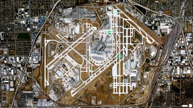
Chicago O'Hare International Airport Illinois USA
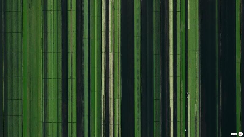
Agricultural Development Loxahatchee Florida USA
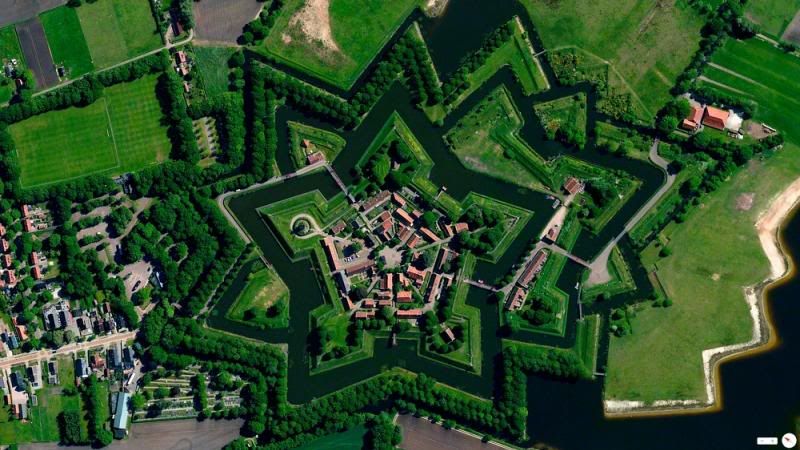
Bourtange Vlagtwedde Netherlands
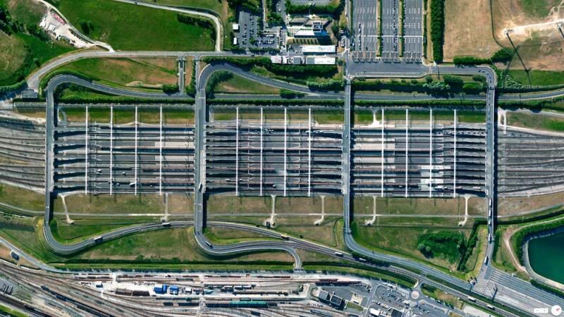
Channel Tunnel Entrance Coquelles France
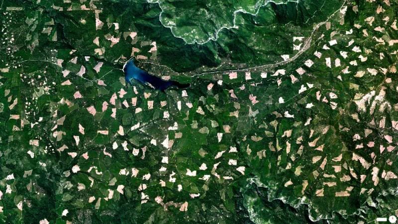
Clearcutting El Dorado Forest Georgetown California USA
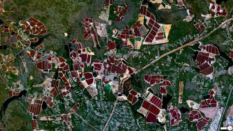
Cranberry Bogs Carver Massachusetts USA
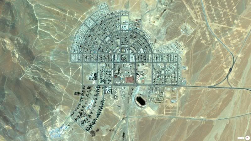
El Salvador Urban Plan Chile
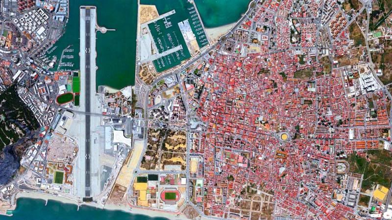
Gibraltar International Airport
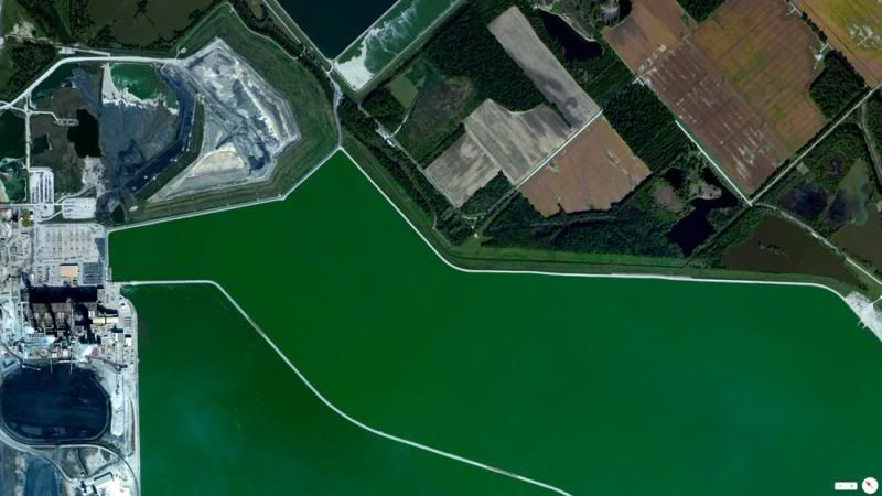
Gibson Generating Station Owensville Indiana USA
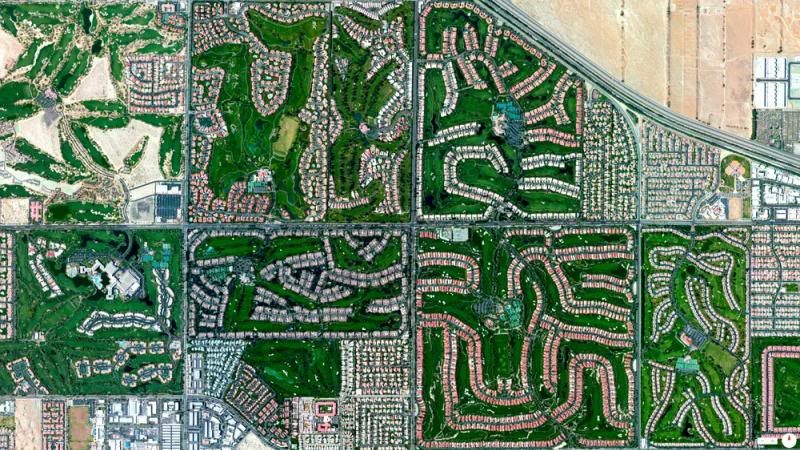
Golf Courses Palm Desert California USA
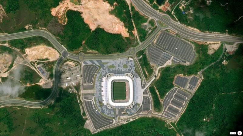
Itaipava Arena Pernambuco Brazil
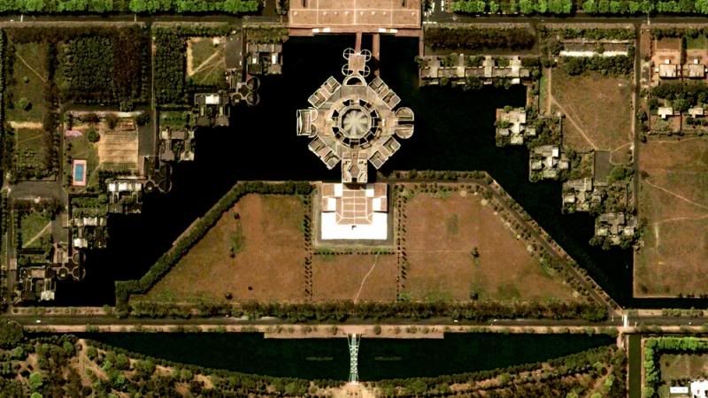
Jatiyo Sangsad Bhaban Dhaka Bangladesh
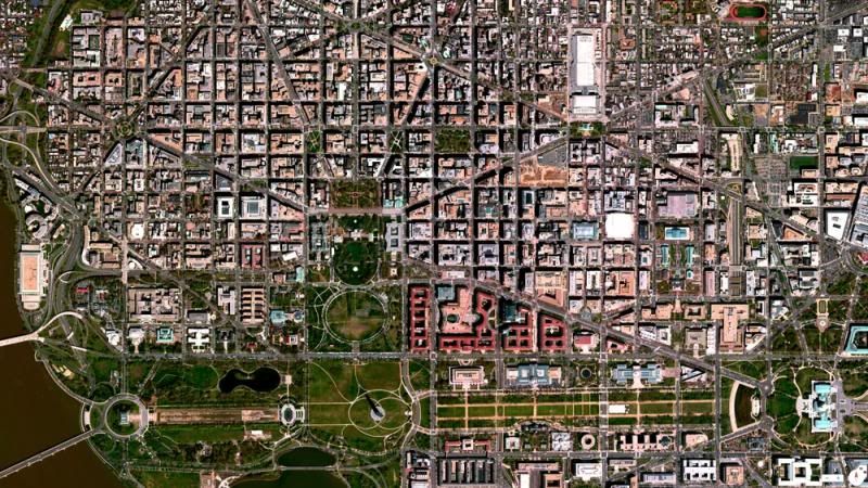
L'Enfant Plan Washington DC USA
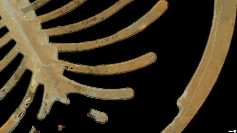
Palm Jebel Ali Dubai UnitedArabEmirates
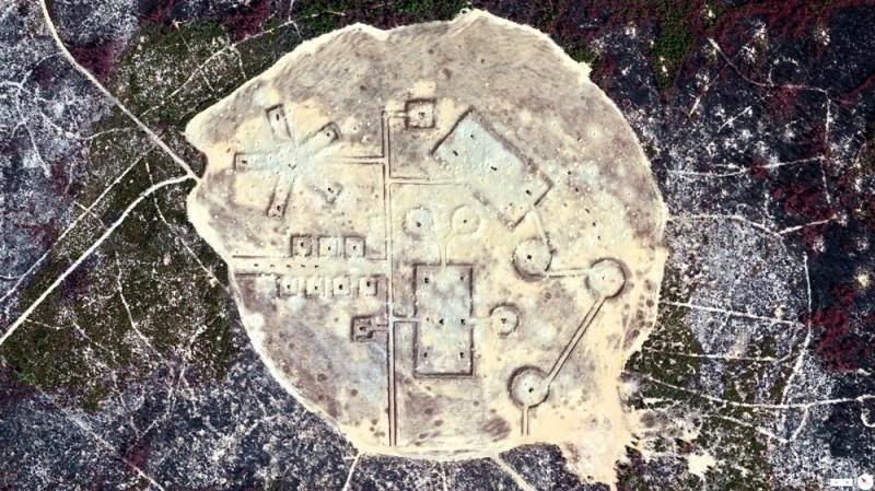
Pinecastle Bombing Range Ocala National Forest Florida USA
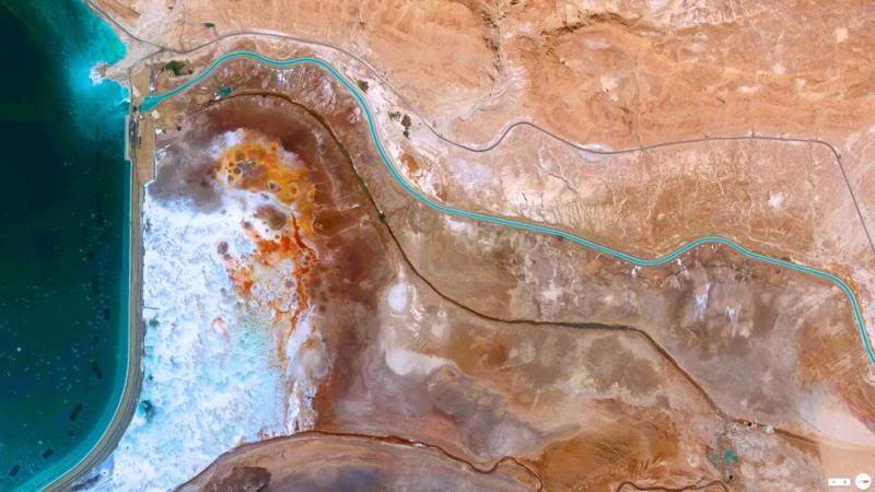
Recession Of The Dead Sea Neve Zohar Israel
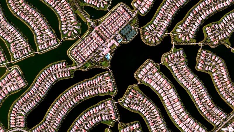
Residential Development Naples Florida USA
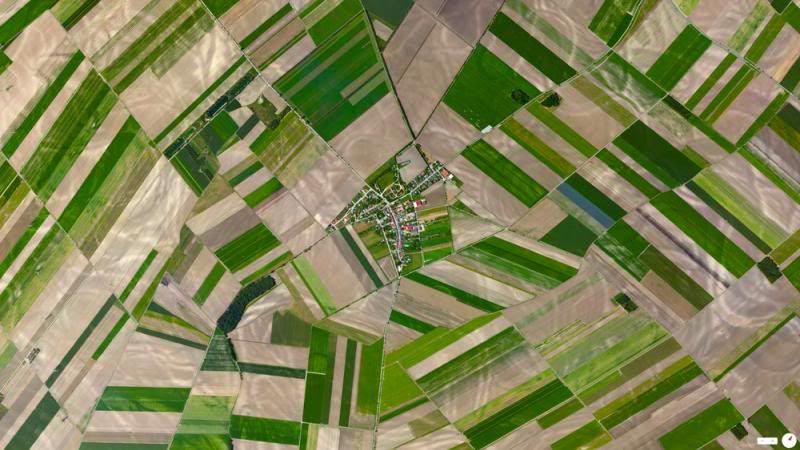
Rutzendorf Gross Enzerdorf Austria
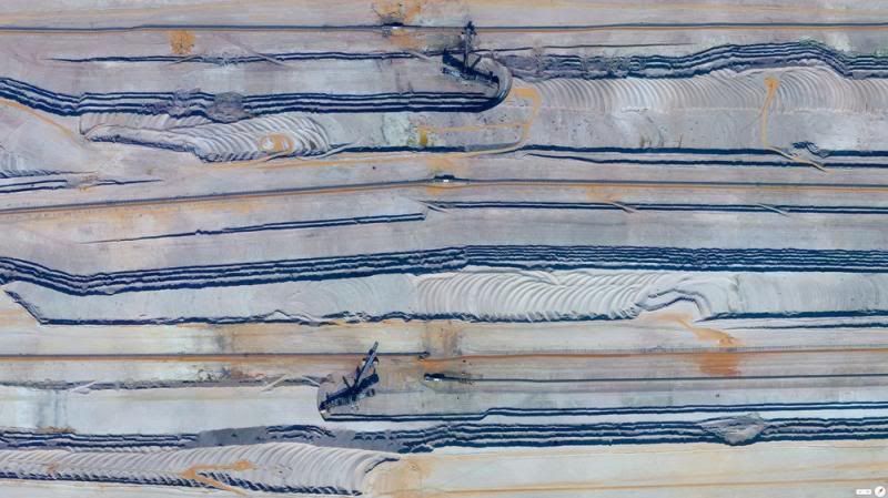
Tagebau Hambach Elsdorf Niederzier Germany
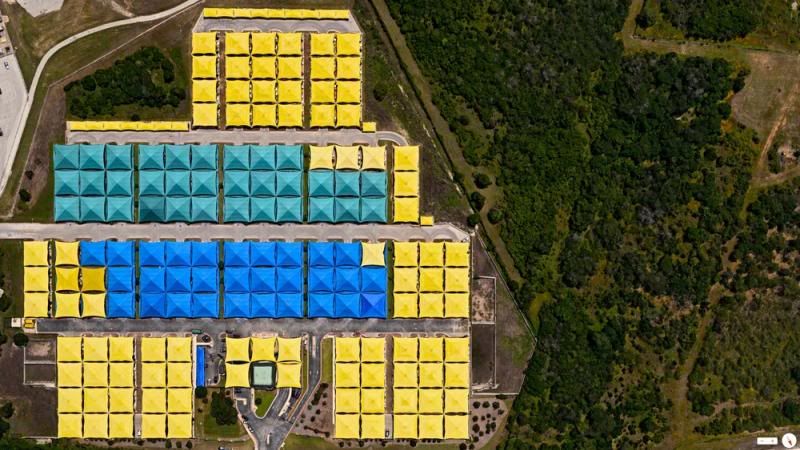
The Parking Spot Austin Texas USA
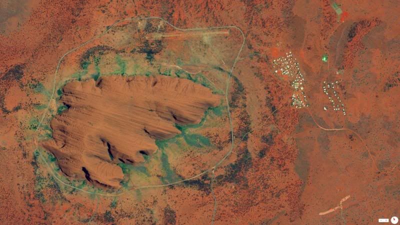
Uluru-Ayers Rock Northern Territory Australia
------------------------------------------------------------
Aerial photos of Earth using the Overview Effect reveal incredible patterns usually only seen by astronauts
June 20, 2014

The village of Bourtagne in the Netherlands looks like a beautiful star from above.
Source: Picture Media
JUST in case you needed reminding of how beautiful our world is,
this team of photographers have pulled together some incredible images
of Earth as you’ve never seen it before.
Looking more like works of art, the stunning aerial photographs have been captured using the Overview Effect.The term refers to the sensation astronauts have when they look down on Earth from space and see patterns in the natural and man-made world below.

No it’s not artwork, it’s Our Lady of Almudena Cemetary in Madrid, Spain.
Source: Picture Media
Other less common patterns are the cubist effect of Barcelona’s streets and the cell-like patterns in some of Florida’s towns.

Looks like rows of CD’s but it’s actually the crops of Hail in Saudi Arabia
Source: Picture Media

The inside of a worm farm?
Source: Picture Media
DigialGlobe already uses five satellites to collect the images and plans to launch a sixth one later this year.
“We plan to launch a sixth satellite on August 13 2014 which will enable accurate satellite imaging through haze, fog, dust, smoke and other air-born particulates,” said DigitalGlobe spokeswoman Abigail Van Uum.
So can you pick the landmarks from the patterns?

Like a giant palm tree, The Palm Jumeirah — Dubai, United Arab Emirates.
Source: Picture Media

Robotic looking faces are actually the Kauffman Stadium and Arrowhead Stadium — Kansas City, USA
Source: Picture Media

Diamond shapes of the city of La Plata in Buenos Aires, Argentina.
Source: Picture Media

The inside of a computer? No, it’s the Billie Jean King Tennis Center — New York, USA
Source: Picture Media

Central Park — New York, USA
Source: Picture Media

Thousands of rubik’s cubes. It’s the Eixample District — Barcelona, Spain
Source: Picture Media

0 Nhận xét:
Đăng nhận xét
Đăng ký Đăng Nhận xét [Atom]
<< Trang chủ